Update: ISRO has now opened a launch view gallery to view launches. This is a lot closer(~6kms away, the place I have described here is 11kms away) to the launchpads. However, for night launches, especially if you are interested in photography, I would recommend the place that I have described in this post. To enter the viewing gallery, you will have to register in this website.
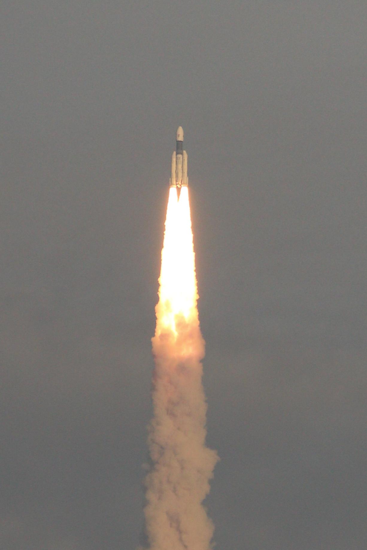
I am a space freak. All throughout my childhood, I have seen the rockets being launched from Sriharikota from my home in Chennai. Yes, you read that right. Rockets launched from Sriharikota are visible from Chennai. Sriharikota is in fact just around 100 kilometers from Chennai. Whenever there is a rocket launch, Chennaites can see the rocket and the stage separations pretty clearly if they look towards the north-eastern part of the sky.
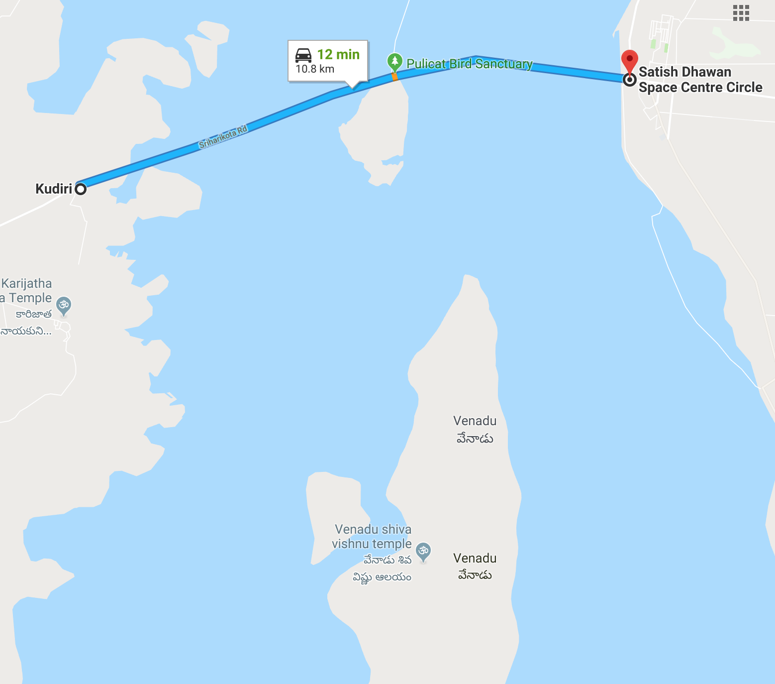
During my college days, there was one launch that happened on a weekend. My friend and I decided to get as close as we could to Sriharikota to see the launch. ISRO, unlike NASA and SpaceX, does not have well established spots to see rocket launches from. So we googled SHAR and noticed that there was a roughly 20 kilometer long road connecting Sullurpet with the island of Sriharikota. Of this, there was a 10 km section that passed straight through the Pulicat lake. This is when it struck us.
Courtesy: Map data ©2019 Google
Bang in the middle is the Pulicate Bird Sanctuary office. It was highly unlikely that it would be out of bounds to outsiders just because there was a rocket launch happening. We also noticed that there was a huge island nearby that even had a small mud road leading to it. We hoped that if the bird sanctuary was not reachable due to security blocking it, we could just take a boat and reach the island to spot the launch.
On the day of the launch, we took a bus to Sullurpet. This town lies on the Chennai - Nellore National Highway so there are plenty of buses on this route all throughout the day(there's also a train that runs between Chennai and Sullurpet). After getting down in Sullurpet, we asked around for directions to Venadu, the island that we spotted near Sriharikota. Turns out, there are frequent buses from Sullurpet to there! Even if you are not able to get a bus, there are plenty of shared jeeps and autos plying on this route.
As soon as we reached the bird sanctuary office, there was a checkpost checking for permits to proceed on the SHAR road. However, since we were taking the road to Venad that is just before this checkpost, we had absolutely no issues!
Now that we were only about 11 kilometers from SHAR, we had to figure out where the launch pads were located. There is a significant tree growth on the island of Sriharikota and this makes spotting the launch pads difficult.
This is when I thanked the skills I learnt as a scout and used over the years in many of my treks.
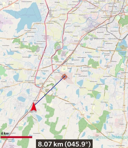
If you know the coordinates of two points on a map, it is trivial to find the forward bearing between them. I quickly used Orux Maps, an app that makes GPS navigation easy on mobiles, to plot my location and the launch pad's location. It quickly displayed the forward bearing. Here's a sample screenshot showing the forward bearing between my location(the triangle) and a place of interest(the circular pointer). The bearing is displayed as 45.9 degrees.

All we had to do after that was use a mobile compass to point to that bearing and wait.

I have visited this place numerous times and seen the crowd gradually increase over the years. I was even invited to give an interview on a radio station about this!
Some of the best memories I have with this place are:
- Seeing launches in the month of January/February. This is when there are numerous flamingoes in the lake. During the launch, the birds start to fly due to the noise and the sky looks pinkish-orange in color because of their number!
- Every single night launch. The place goes from being pitch black to feeling like daytime.
To make things easy, we wrote a small app to help Chennaites with spotting launches.
